


We got up to smooth in the previous blog discussing the spatial tools in Alteryx and this blog will pick up from there.
Spatial Info
The spatial info tool can be a bit daunting in the sense it fills a range of roles but is rather broadly named, newcomers might therefore be uncertain of when and where to use spatial info.
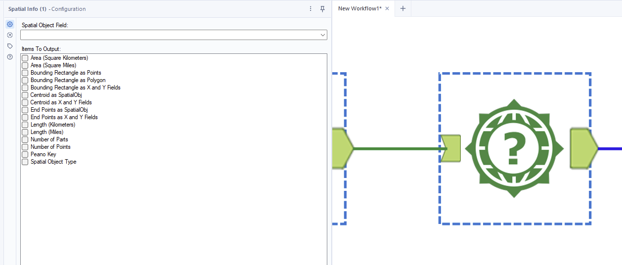
The good news is once you know that spatial info has the capacity to investigate all the options above it is simple to use. Point the tool at a spatial object field and click the output(s) you want. #
Area should be self explanatory. Centroid means the center point (of either a line or a polygon).
End points refer to where the object starts and finishes. For a polygon this can give you an idea of the sequence in which it is constructed.
Length serves in a similar way to find length but now rather than the length between two points it is the length of an object in a row.
The number of parts/points can give you more information about the objectr itself as can the object type.
Peano key merges an x and y coordinate onto a single dimension.
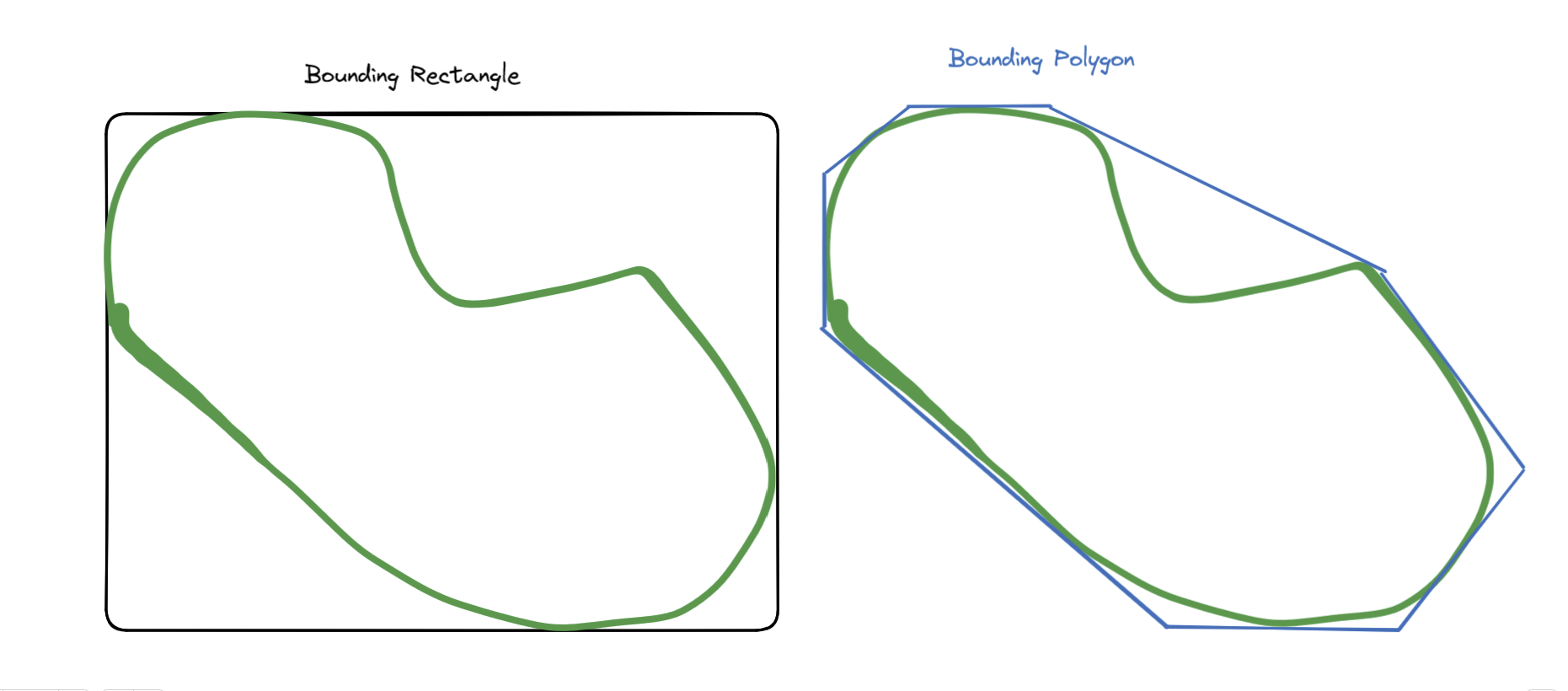
Bounding effectively encompasses an object with the specified shape either a rectangle or a polygon.
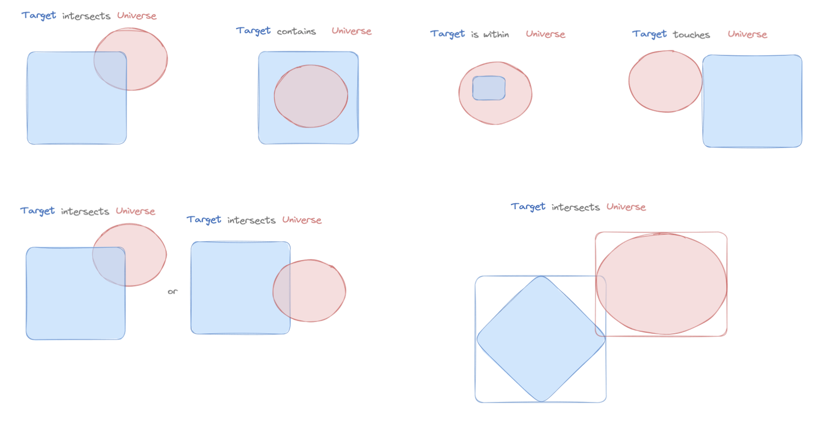
Spatial Match
The match conditions are as follows:
Spatial Process
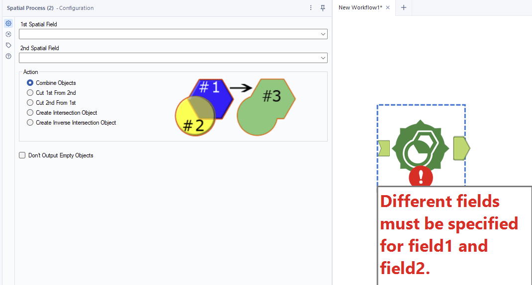
Spatial gives the user the option to complete an action: the best way to describe them is the Alteryx images provided in the tool. The documentation is at the following link.
Trade Area
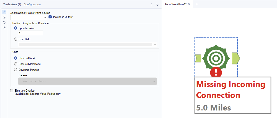
Trade area points at a specific spatial field and makes a circular buffer zone around a point. If you put a polygon or line into the tool it will use the center-point as the point to create the buffer around. Adding a - in between the radii values will create a doughnut rather than a ring.