This bl0g was inspired by WOW2022 week 46, dedicated to the one and only Jenny Martin.
So, how do you make a hex Map? There are multiple ways one can go about doing somthing like this. The first step in every variation is to download a shape, not a square, not a pentagon but yes you guessed it; a hexagon. Download it and save it to your Tableau repository.
The technique that we will learn today, which is the easiest, requires an external excel file which gives coordinates for each state. To do this we will be using a file created by Matt Chambers. https://www.sirvizalot.com/2015/11/hex-tile-maps-in-tableau.html
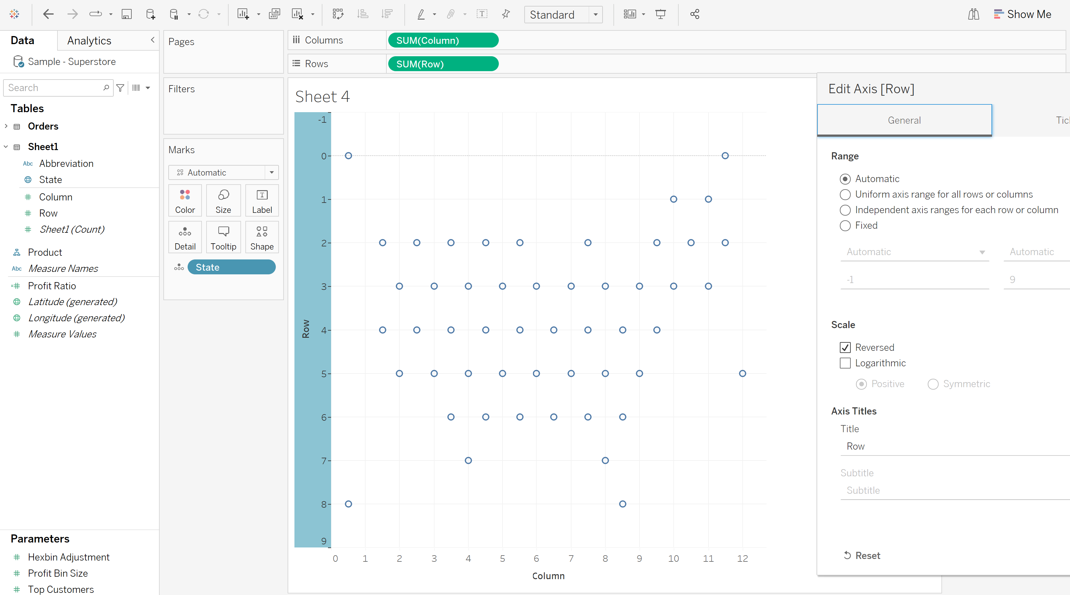
After downloading this data set and connecting to superstore (in this case), the row and column field need to be dragged onto the corresponding areas in the canvas. This will originally give the sum of both values, after adding state onto detail, it will split each point into the individual states.
For this particular file you need to remember to reverse the y axis which can be done by right clicking the axis, this should give you points which are in the general location of each State in the US.

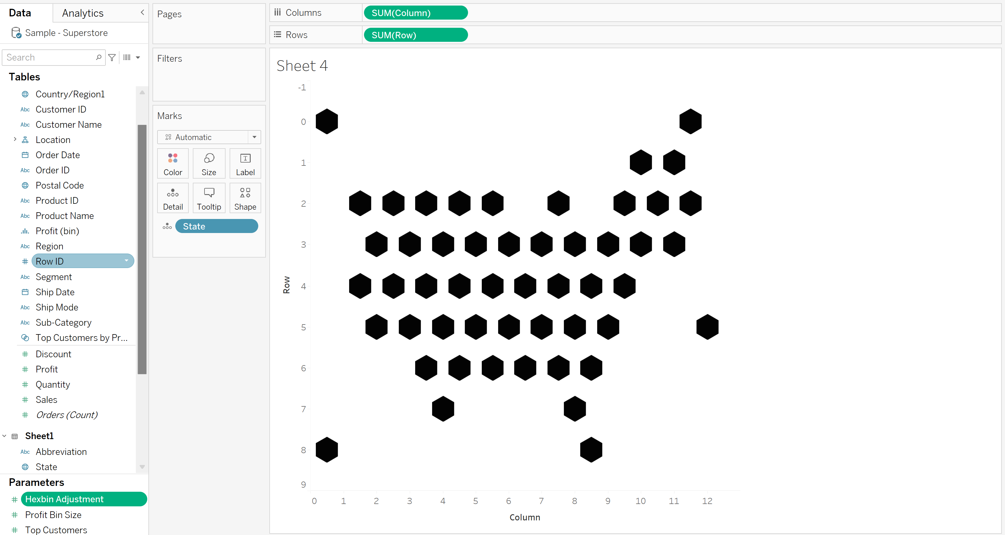
Strap y0urself in because this is where the fun starts. Yes you've got it right, its time for the hexagon. After selecting the type in the marks card to 'shape' go to the custom section and select the shape you have previously saved.

Brilliant, would you look at that! But we're not done yet. At the moment we have the coordinates of each state, but how can we make this look professional? A really nice finishing touch to set you apart from the rest is to put the shape of the state on each one of the hexagons; i know right- you dont even have to pay for this blog.
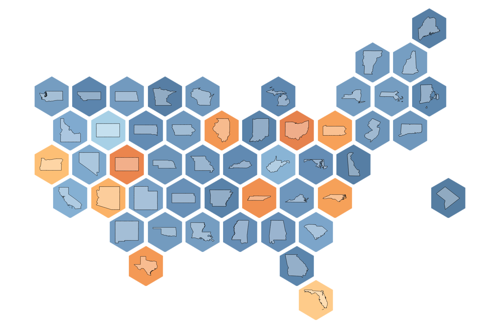
In order to do that we need to make a dual axis, and instead of choosing the shape marks card, select map. This will give the shape of the individual states using the same coordinates as the hex map.
After changing the colour, sizes and some formatting this is our final result!

I hope this helps!
